Purpose
This page will explain how to delete a polygon collected in the field in ArcGIS Online
Requirements
- You will need to have a username and password set up for you by a Cadasta team member. If you do not have a user please contact support@cadasta.org
- You will need to sign to your account - see Introduction to your account for a reminder
- You will need to be a member of the group in which the feature has been shared.
Steps
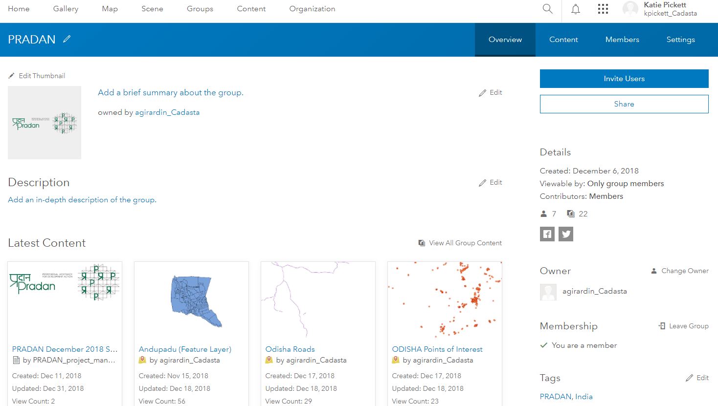
- Navigate to your User Group
Find the Field Collector Map (Web Map) you used to collect the polygons
Select the Web Map
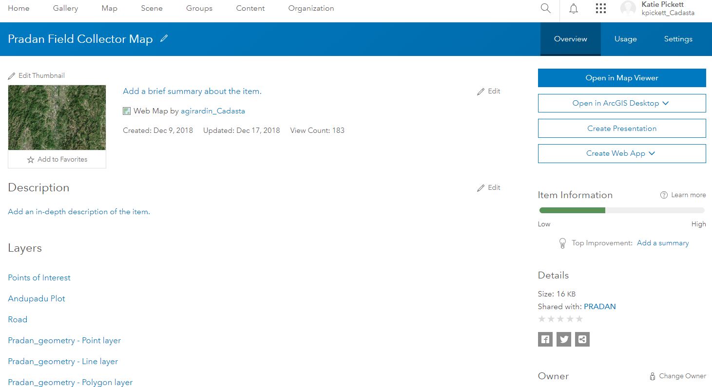
Press the Open in Map Viewer button

See the Map Viewer Overview
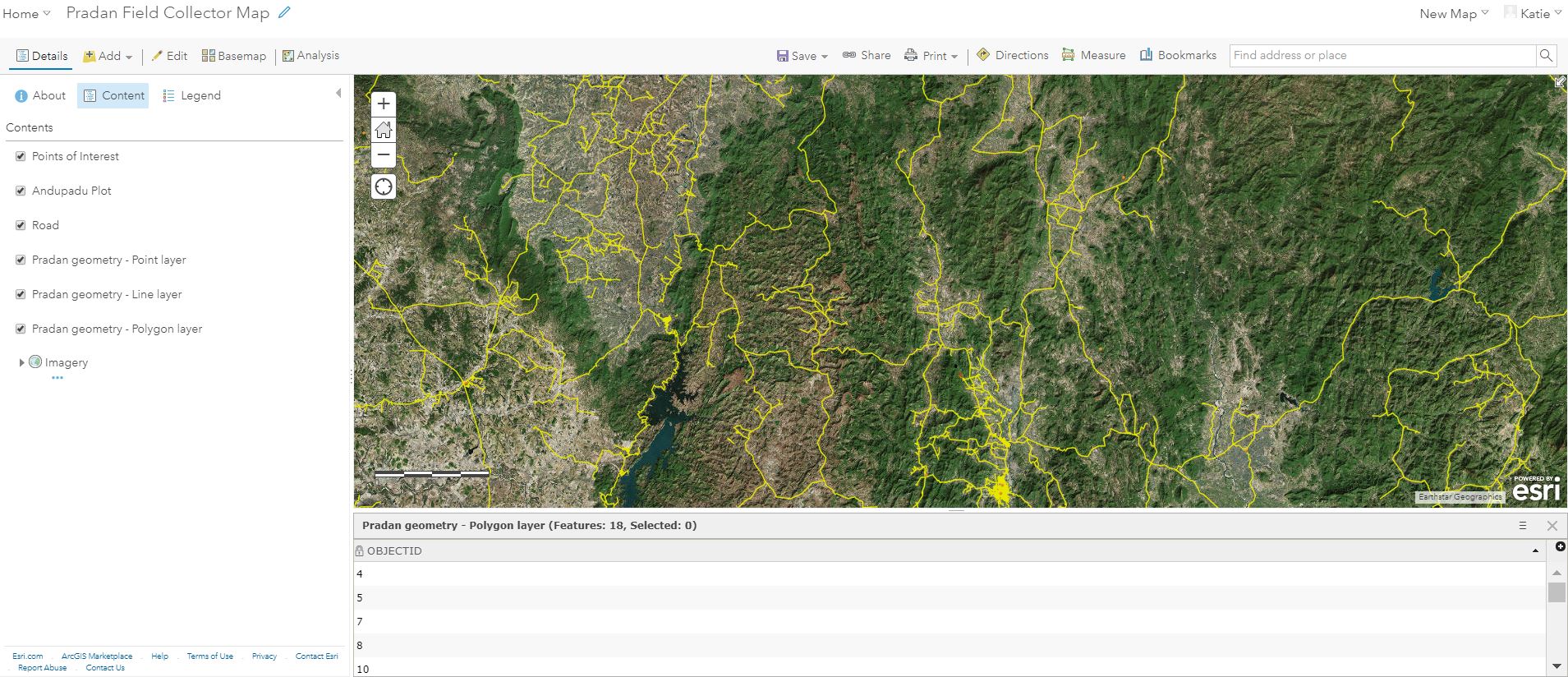
Select Content

See the Map Viewer Content Sidebar
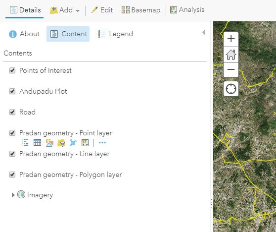
Hover the mouse over the polygon layer

You will see multiple options. Select Show Table
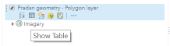
See Show Table view
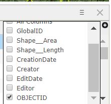
Click More Options within the table sub-window
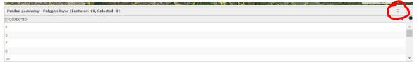
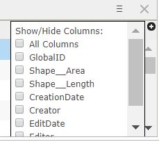
Select Show/Hide Columns

You can toggle columns on and off by checking and unchecking the boxes next to the column names
Note: In this example, only the OBJECTID column is toggled on and showing
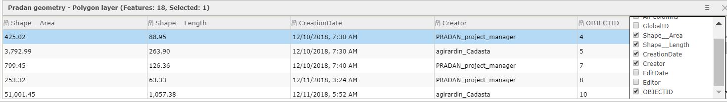
See when additional columns are toggled on
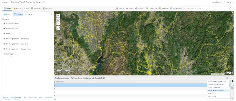
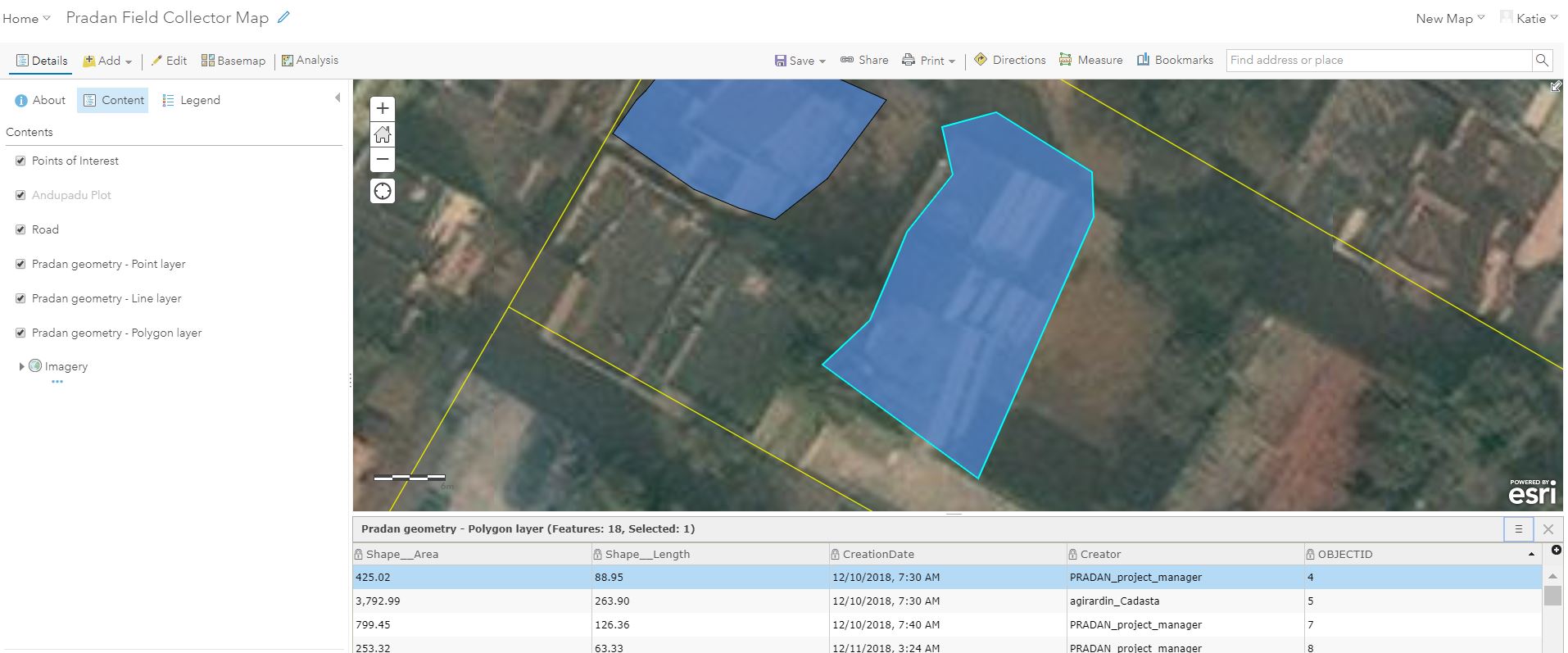
Click More Options
Select Center on Selection
Note: The Selected Record in this example is OBJECTID 4

See OBJECTID 4 Selection in Map Viewer
Click on the selected polygon record to see the associated pop-up
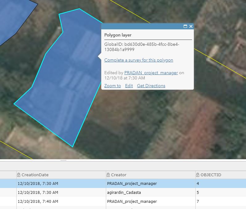
Select Edit in the pop-up to edit the polygon
See the Edit pop-up window
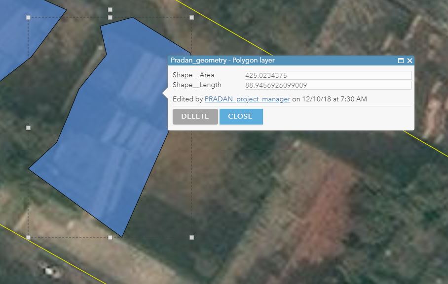
Press Delete to delete the selected polygon feature
- Press Close to stop editing